Cold front lashes Western Cape before moving to other parts of SA
On Thursday, an “intense cold front associated with a steep upper-air trough” hit the western parts of the country, said the South African Weather Service. Over the weekend the cold front moved to other parts of the country, it said. Strong to near gale-force northwesterly winds, from 50-60km/h gusting up to 80km/h, were reported in the province.
Widespread rainfall
Widespread rainfall is also expected over the western parts of the Western Cape. This will spread to the western and southern parts of the Northern Cape.
Rainfall accumulations of 20mm to 30mm can be expected, with heavier falls of 40mm to 50mm expected over the southwestern Cape, said the weather service.
This rainfall will lead to flooding in informal settlements and could pose a risk to motorists’ ability to drive safely.
They are advised to reduce speed and to keep safe following distances.
When a cold front hit the province in July, the City of Cape Town said that because of Covid-19 health and safety measures it was hampered from providing shelter for informal settlements affected by flooding.
At the time, to help those affected by heavy rain and high winds, the City’s transport department provided sand and milling where possible to raise ground levels in sodden townships and settlements.
The weather service also warned that on Friday and Saturday there would be “freezing levels” over the Western Cape and parts of the Northern Cape.
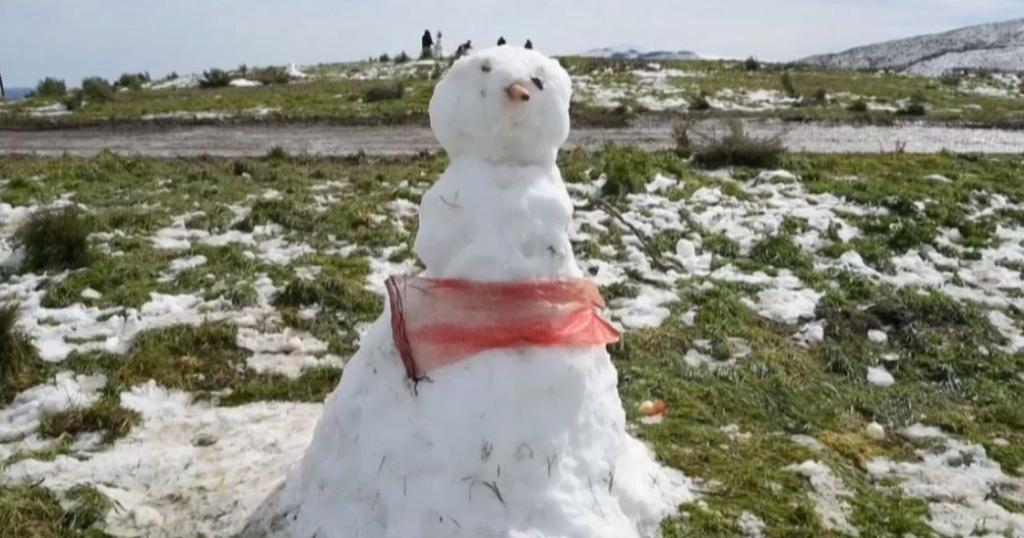
Snow in the Cape and KwaZulu-Natal
As a result of this, snowfall accumulation of between 5cm and 10cm is expected in the high-lying areas of the Cape Winelands, Garden Route, Central Karoo and the southern and western parts of the Namakwa District in the Northern Cape.
A statement by Charlotte Powell, the City’s disaster risk management spokesperson, said the City’s services are on standby to deal with any situation related to the predicted adverse weather, such as clearing flooded roads, blocked drains and trees.


